


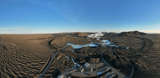
 Protective barriers surrounding the Svartsengi area in early November 2024. (Photo: The Icelandic Met Office / Bjarki Kaldalóns Friis)
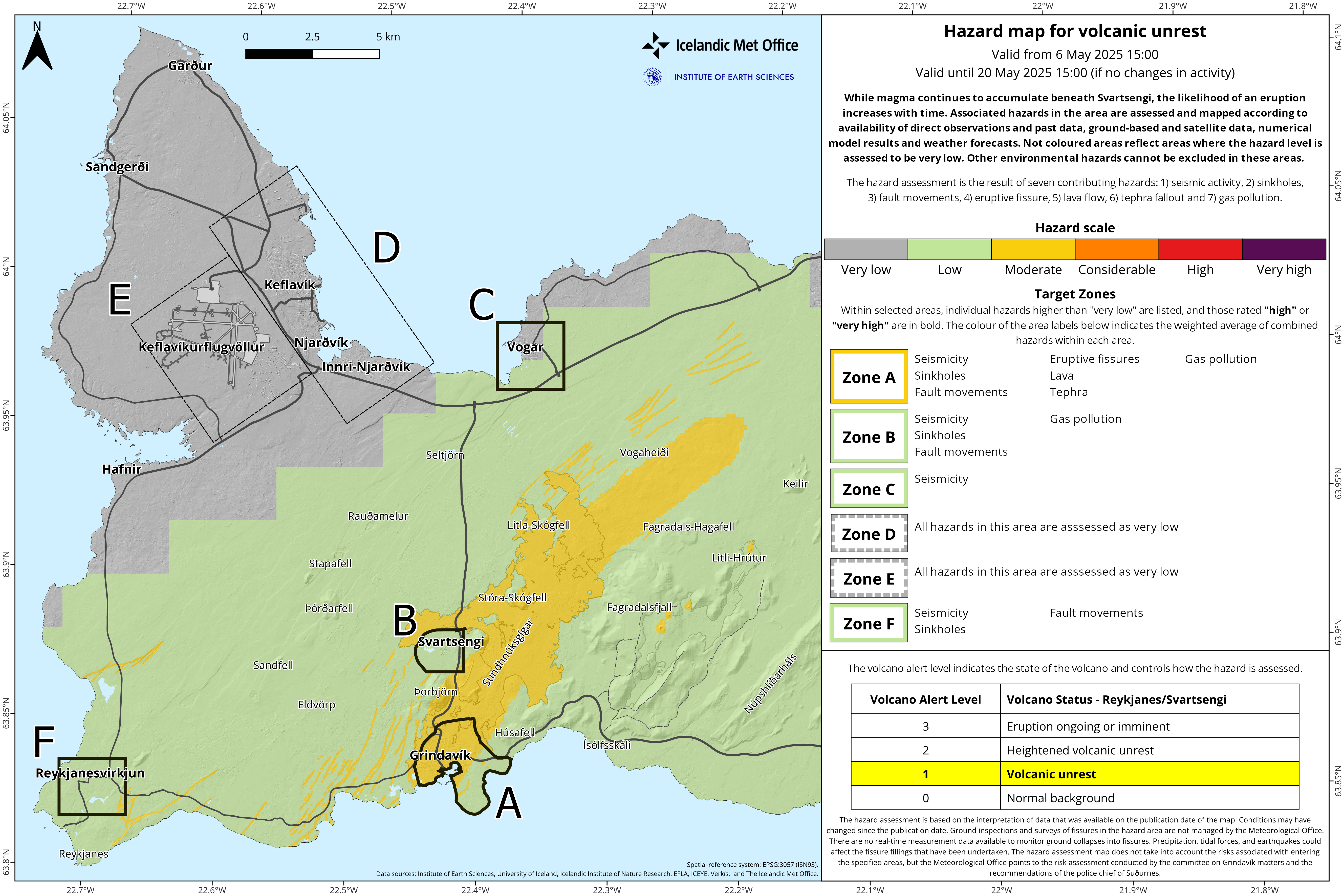
Update 6 May 2025
Deformation data (GPS) show clear signs of ongoing uplift in Svartsengi, although its rate has slowed in recent weeks. Scientists have assessed when the likelihood of a new magma intrusion or eruption might increase. This assessment assumes that the same amount of magma must accumulate beneath Svartsengi as in previous events in the Sundhnúkur crater row.
If the uplift continues at the same rate as today, the likelihood of a new dike or eruption is expected to increase as autumn approaches. However, if the rate of uplift, and thus the magma accumulation under Svartsengi, changes, it will affect this assessment.
Scientists at the Icelandic Meteorological Office are now revising the potential scenarios and are evaluating, among other things, the amount of magma beneath Svartsengi necessary to trigger a new dike or even an eruption.
Changes in uplift rate are assessed over weeks rather than days
Deformation data showing uplift often fluctuate slightly from day to day, even if the underlying magma inflow is steady. These daily variations can be caused by weather, measurement errors, or other natural factors that have little impact on the overall picture. Looking only at short time periods may give a misleading impression of whether uplift is increasing or decreasing. Therefore, it is important to analyze trends over a week or longer to get a realistic view of what is happening. It is crucial to interpret these data in the context of longer-term trends rather than focusing on measurements from individual daily GPS measurements.
Seismic activity continues along the dike that was formed on April 1, but activity has decreased since the end of the eruption. On average, several dozen earthquakes have been recorded per day over the past two weeks.
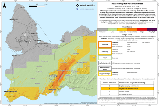
The hazard assessment map has been updated and remains valid until May 20, unless changes occur. A new information update is also planned for May 20.
 Click map to enlarge

www.malaymail.com/news/world/2026/01/11/bomb-attac…
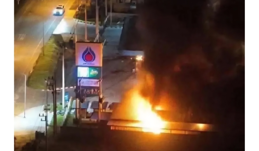
BANGKOK, Jan 11 — A series of late-night bomb attacks targeted 11 PTT petrol stations in Thailand’s southern border provinces of Narathiwat, Pattani and Yala…
www.khaama.com/at-least-eight-refugees-die-37-resc…

At least eight refugees died and 37 were rescued when their boat sank off Badmeli near Izmir, Turkish authorities said on Saturday.
katu.com/news/local/oregon-confirms-first-measles-…

Health officials in Oregon have confirmed the state's first measles cases of 2026, with two people diagnosed in Linn County.
abc11.com/post/measles-north-carolina-state-report…

Measles in North Carolina: State reports 5th case linked to South Carolina surge